ATLAS
Learn Earth's geography interactively.
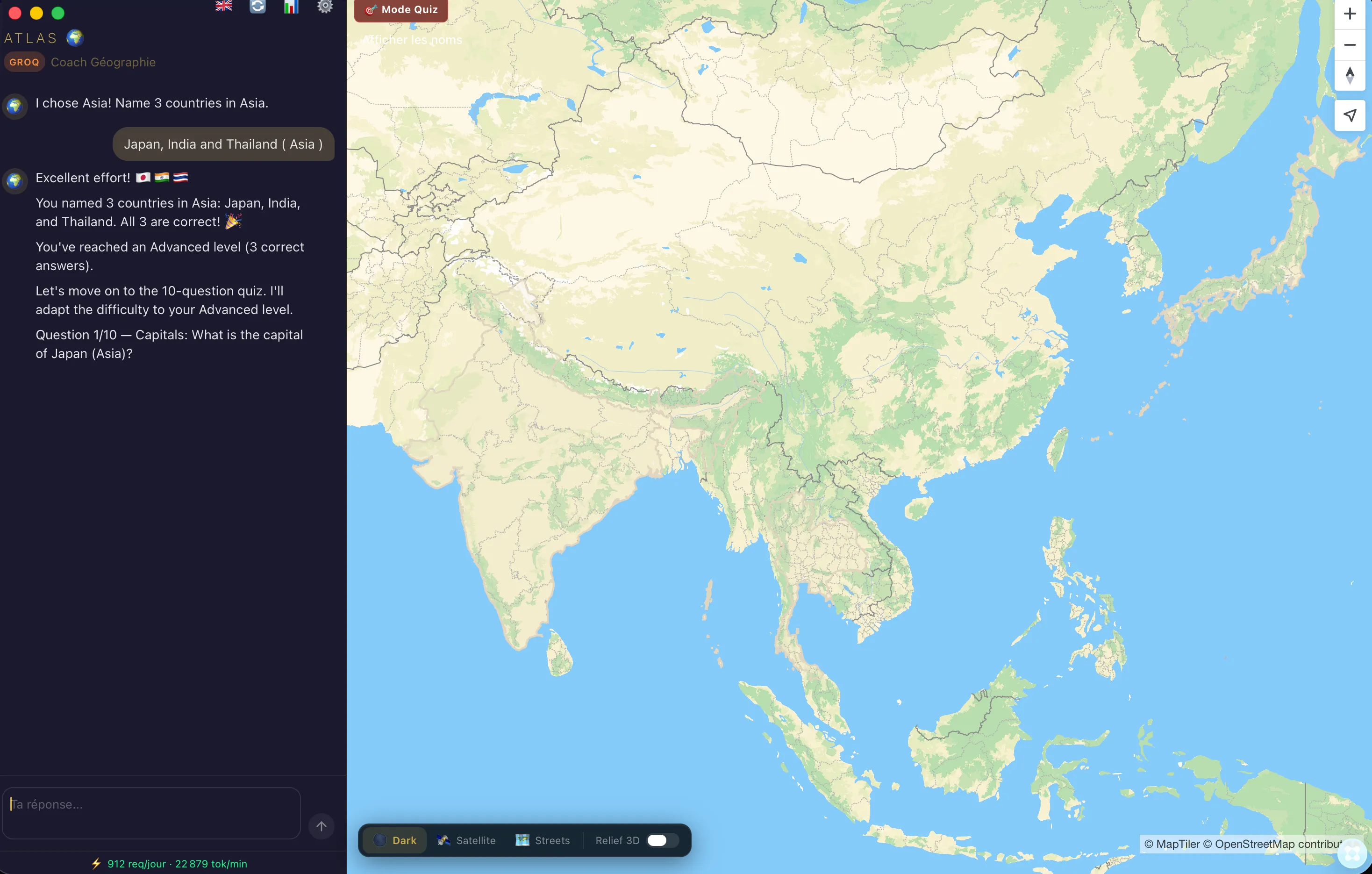
Explore the world with interactive maps featuring a dynamic globe view, terrain visualization, and customizable map styles. Perfect for geography students and educators who want to learn about landscapes and regions with stunning visual detail. Key Features: - Interactive globe that rotates and zooms to explore any location on Earth - Terrain visualization showing mountains, valleys, and geographical features - Dynamic style controls to switch between different map appearances and overlays - Drag-and-drop interface for organizing and managing map layers
Suggested Apps
Plain
Plain is a simple roadmap tool: create projects, set a status, see the timeline, tick the tasks. Clear priorities and visible progress—plain and simple.
 Kristina Loewen
Flight Watch
Track nearby aircraft in real-time and follow flights of interest
 Hamzah Chaudhary
Peel
Remove image backgrounds instantly and save with a custom prefix to your device
 Thomas Paul Mann
Awesome Script Commands
Code automation made simple and fast.
 Thiago Holanda